Season-Long Rack Tracking

Rack Tracker

Stop guessing which bull you're looking at. Track individual animals across every season.

Log every trail-cam hit, glassing session and shed find against the specific animal it belongs to — then watch Rack Tracker draw that rack's movement across the mountain, in order, on satellite and topo maps. Built for elk, mule deer, whitetail, bighorn and bear.

Free to start — no account, no sign-up. Android phones and tablets. $10/year to unlock unlimited racks.
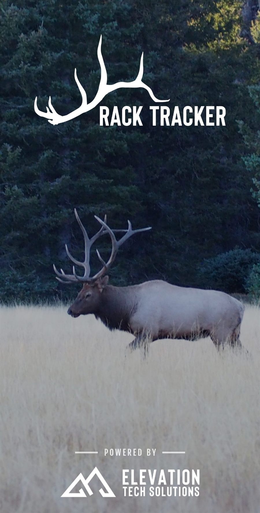
Rack Tracker — a bull elk in a meadow beneath the Rack Tracker logo
How it works
One animal. Every encounter. On one map.

Most hunting apps organize by pin. Rack Tracker organizes by animal — so a season's worth of scattered encounters becomes one readable pattern.

01 // LOG

Log the encounter

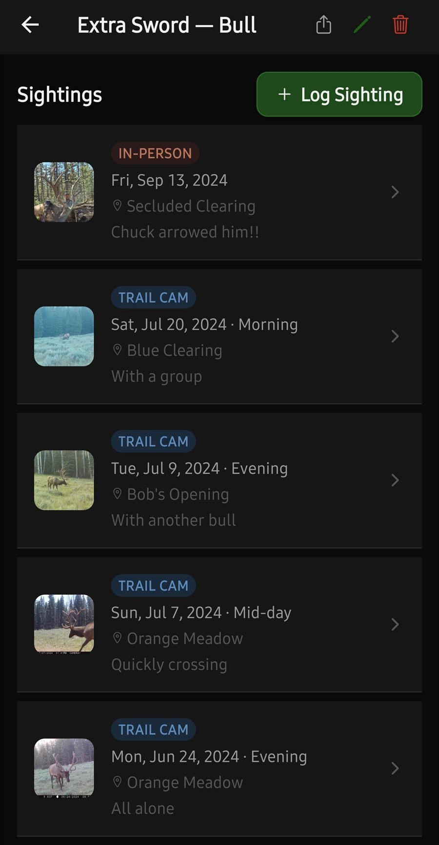
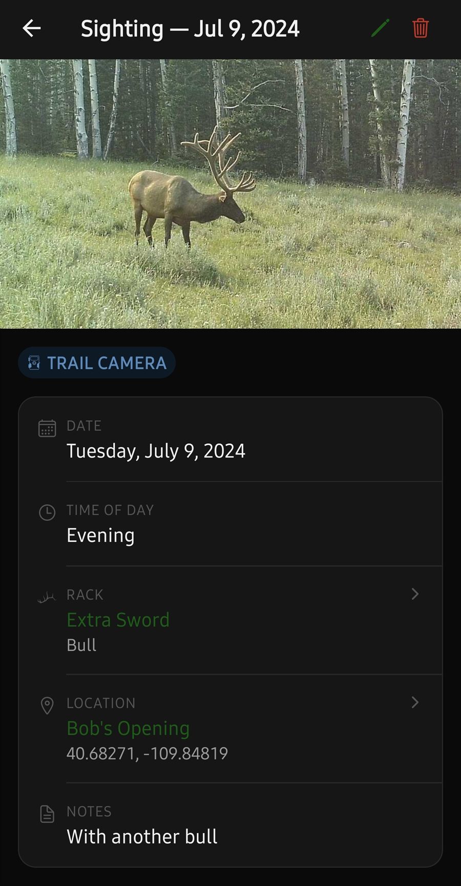
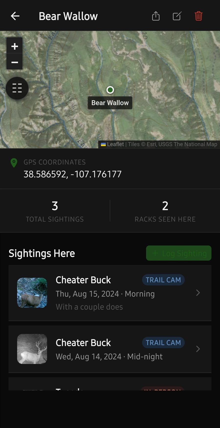
Trail camera, in person, or shed find — with the date, the time of day, a photo, and the spot it happened. Drop the pin on the map or pull it from GPS.

02 // CONNECT

Tie it to the rack

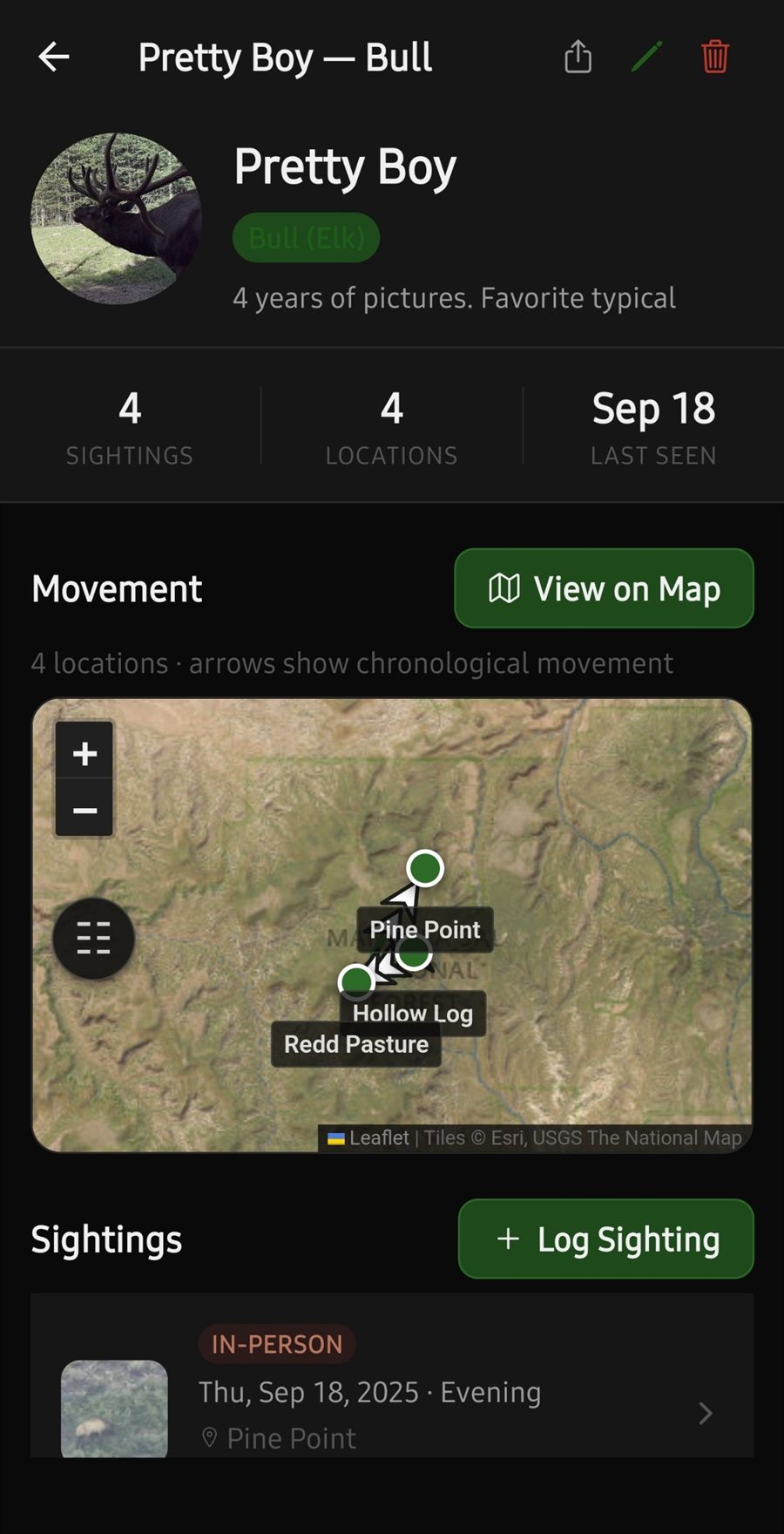
Every sighting belongs to a named animal, so four years of pictures of the same bull live in one profile instead of scattered across a camera roll.

03 // READ THE PATTERN

See how he moves

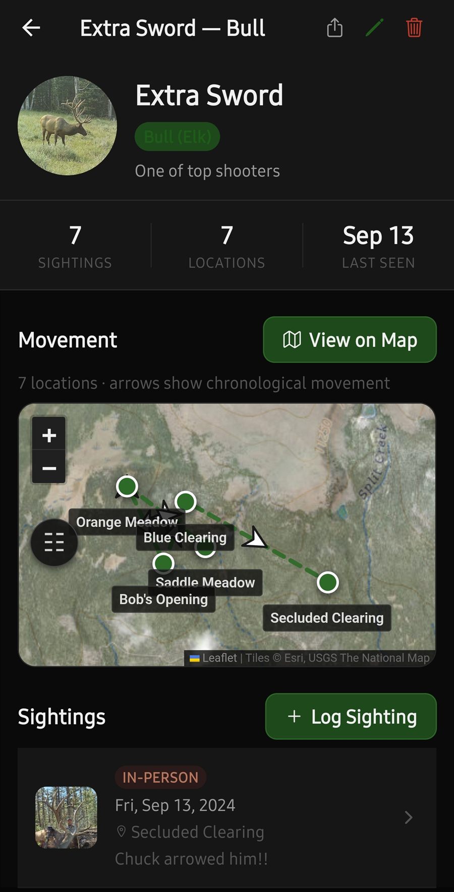
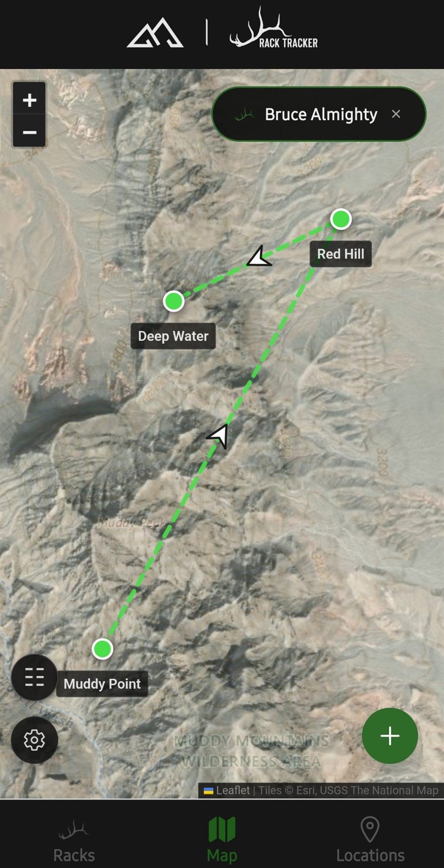
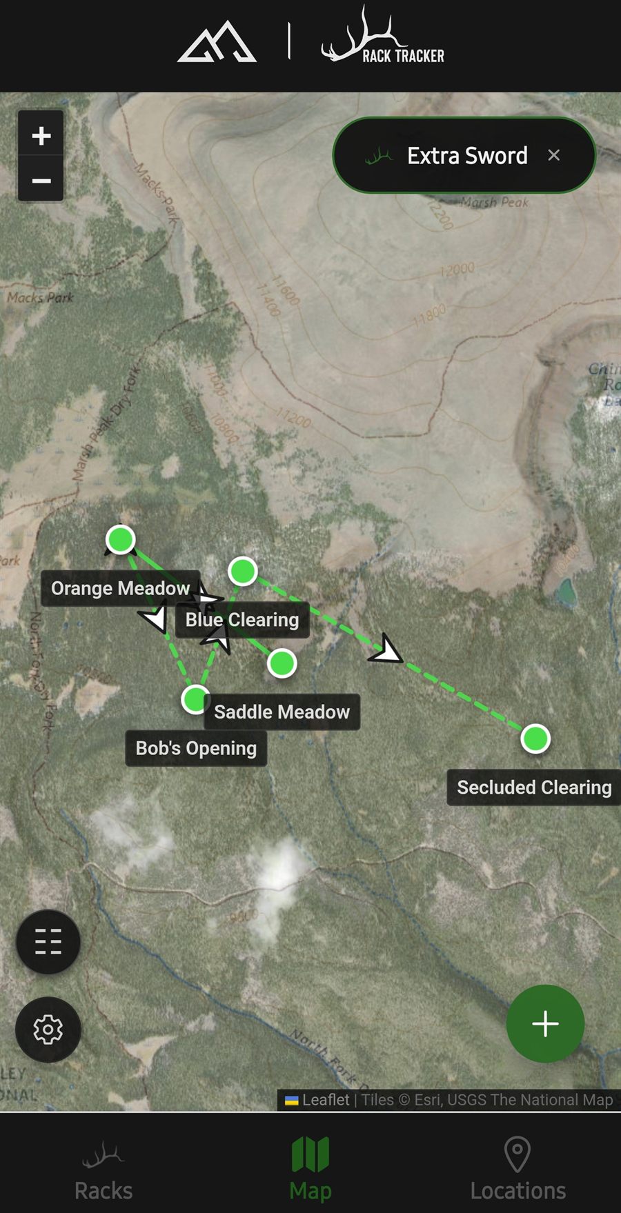
Select a rack and the map connects his sightings in chronological order with directional arrows. Select several and compare their ranges side by side in different colors.

Screens
A look inside

Swipe, drag, or use the arrows to browse.

Features
Built for the way you actually scout
01 // MAPPING

Real scouting maps

Satellite imagery, USGS topo, hillshade, and contour overlays with an adjustable opacity slider — the terrain detail you need to read a drainage.

  • Esri satellite & USGS topographic base maps
  • Contour, hillshade & label overlays
  • Layer choices remembered between sessions
02 // MOVEMENT

Movement paths

Chronological arrows between a rack's sightings show the direction he traveled, ordered by date and by time of day within that date.

  • Per-rack path with numbered stops
  • Multi-rack comparison in distinct colors
  • Early-morning through midnight time tracking
03 // SPECIES

Five species

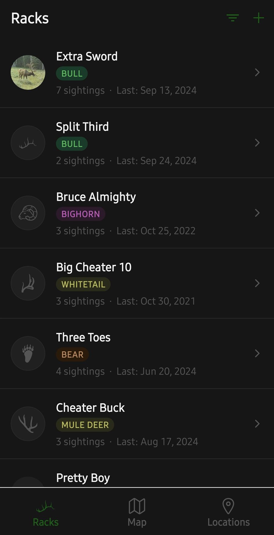
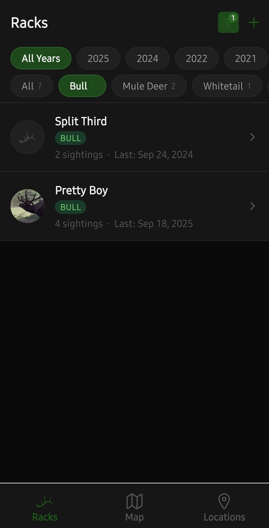
Bulls, mule deer bucks, whitetails, bighorn rams and bears — each with its own badge, icon, and filtering.

  • Filter your list by species or by year last seen
  • Trail camera, in-person and shed sighting types
  • Photos on both racks and individual sightings
04 // YOUR DATA

Export anything

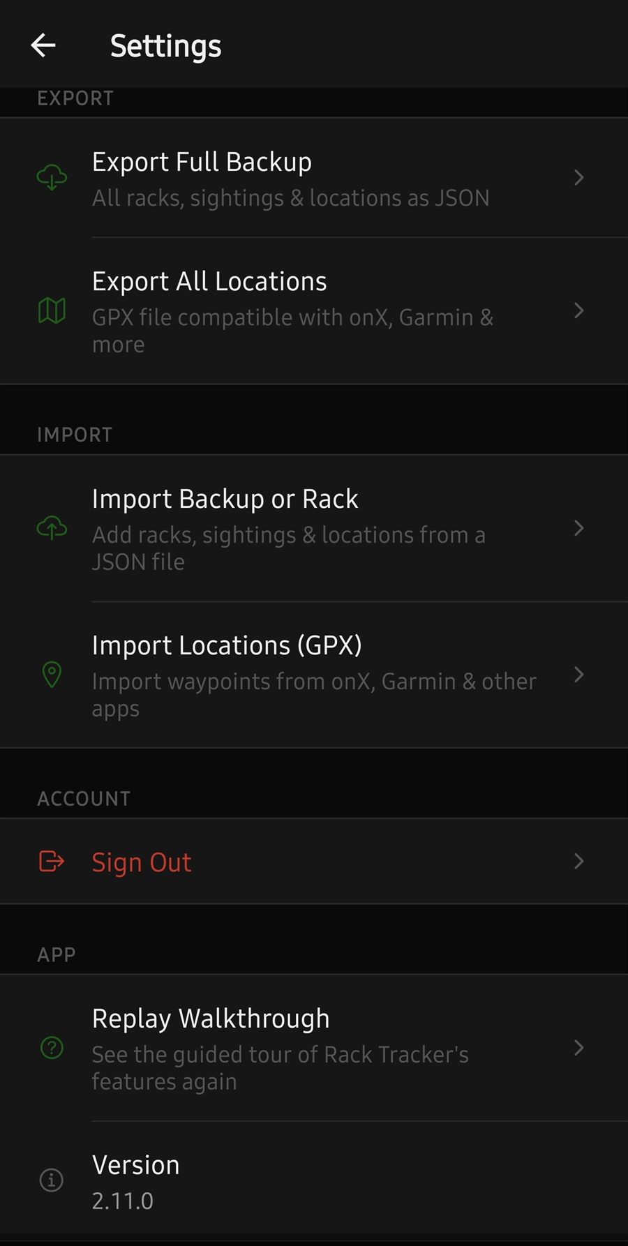
Full JSON backups with photos embedded, single-rack files to send a hunting partner, and GPX waypoints for your GPS unit.

  • Full backup & restore, photos included
  • Share one rack's history as a file
  • GPX import & export — Garmin, onX and friends
05 // FIELD USE

Works where you hunt

Your records live on the device, so logging a sighting works with no signal at all. Recently-viewed map imagery stays cached for offline reference.

  • No connection needed to record or review
  • Photos compressed automatically to save space
  • Dark interface built for low light
06 // NO ACCOUNT

Nothing to sign up for

No email, no password, no profile. Install it and start logging. Your subscription rides on your Google Play account.

  • No account and no email address collected
  • Sample data to explore before you commit
  • Guided walkthrough on first launch
Privacy
Your spots stay yours.

Honey holes are hard-won. We built Rack Tracker so that the people who make it never get to see yours.

Your racks, sightings, GPS coordinates and photos are stored only on your phone. There is no server holding them, no cloud sync, and no account tied to them. We cannot read your data, and we could not share or sell it if we wanted to — we never receive it in the first place.

No tracking of any kind

No advertising, no analytics, no usage measurement. The app contains no ad or analytics software whatsoever.

No location history

GPS is read only when you tap the button to fill in a coordinate. The app never touches your location in the background.

You hold the only copy

Nothing leaves the device unless you export a file yourself and choose where it goes. That also means a backup is worth keeping.

Honest about the map

Drawing a map means asking Esri and USGS for imagery of the area on screen — as every map app does. Your pins are drawn on your device and are never sent to them.

The full detail is in the Rack Tracker Privacy Policy.

Pricing
Try it on your own animals first

Install it, explore the sample data, then start logging your own. No card required to begin.

$10 / year

Unlimited racks, sightings and locations · billed through Google Play · cancel anytime

Free to start, with room for a couple of racks so you can put it through a real season's use before subscribing.

Android only for now — an iOS version is in the works. Questions? Email elevationtechnology@outlook.com

More from Elevation
Our other hunting tools

Same shop, same approach — your data stays yours, and everything works where the signal doesn't.